
Masinloqueños to the world.
Discover Masinloc
Masinloc is more than a stop on the Zambales highway. These stories follow the town from its protected bay to its thirteen barangays, from Sambal words to disputed dates, and from food people eat here to records the rest of the world can check.
Discover tells Masinloc outward. Documented fact, oral tradition and unresolved questions are kept visibly separate so a good story never has to pretend to be a settled one.
 Start here
Masinloc Beyond the Highway
A first look at the Masinloc the highway cannot explain: 56,579 people, thirteen barangays, protected water, a 1,023-megawatt power plant and a name carried far out to sea.
Start here
Start here
Masinloc Beyond the Highway
A first look at the Masinloc the highway cannot explain: 56,579 people, thirteen barangays, protected water, a 1,023-megawatt power plant and a name carried far out to sea.
Start here
Start here
If you have five minutes and no particular question.
- Masinloc in Numbers, Right NowA dated record of Masinloc's population, barangays and elected leaders, with a source and verification date for every value that can change.
- This Is Not the LGU Website, and That Is the PointThis independent Masinloc platform cannot issue a permit or speak for government. What it can do is show its sources, hold a question open, protect submissions and publish a correction trail.
- Thirteen Barangays, One MasinlocThe 2024 census shows a municipality whose largest barangay has more than six times the population of its smallest—and whose official urban-rural labels challenge the obvious map in your head.
Places
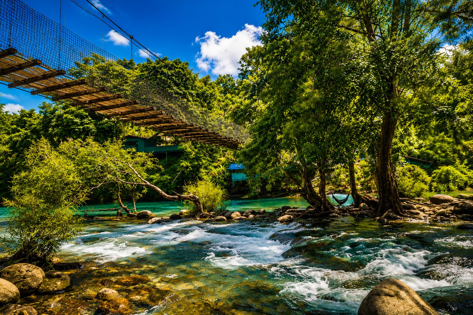
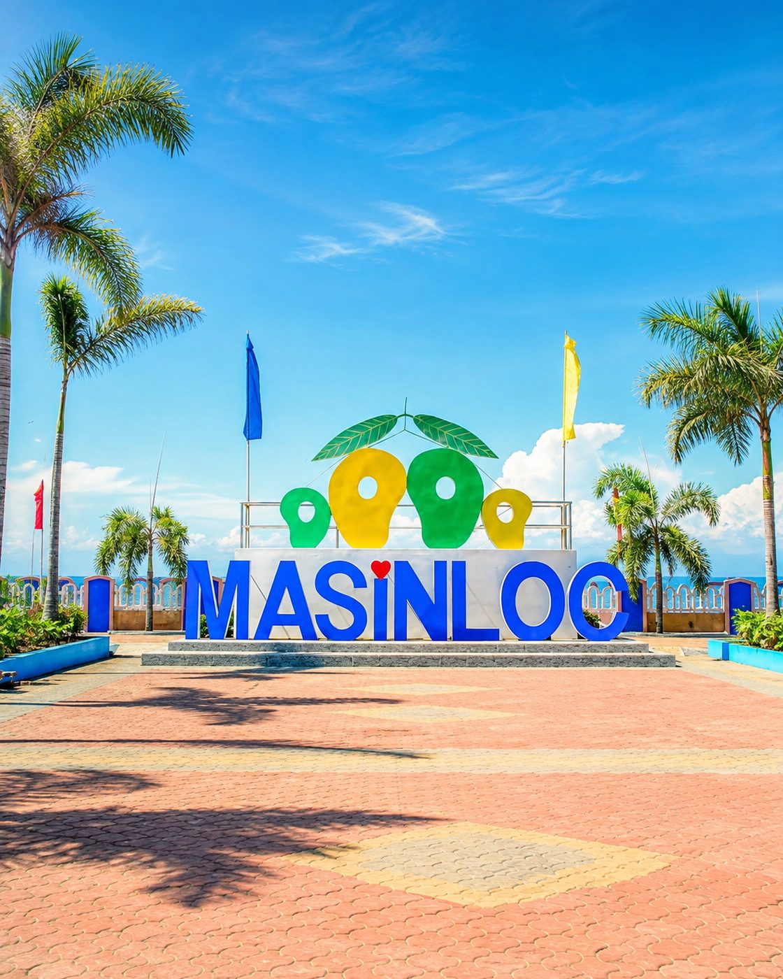
Eight of them, photographed where they actually are.
Food and local flavors
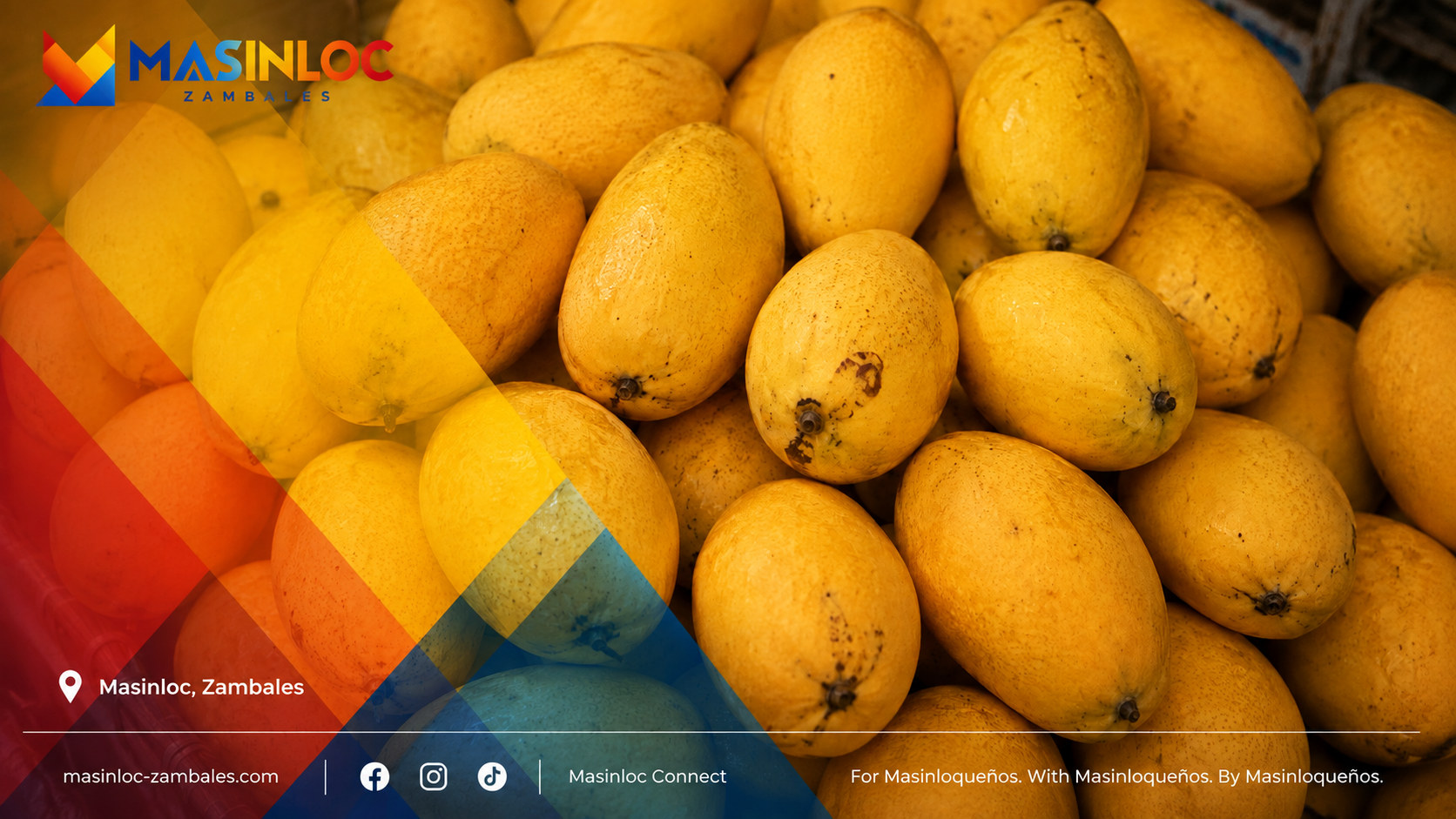
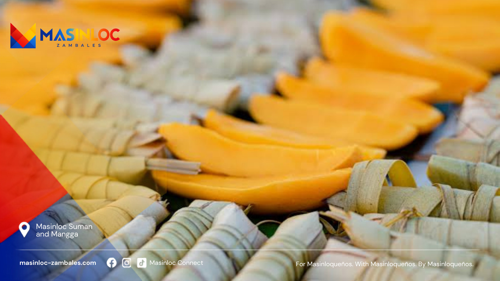
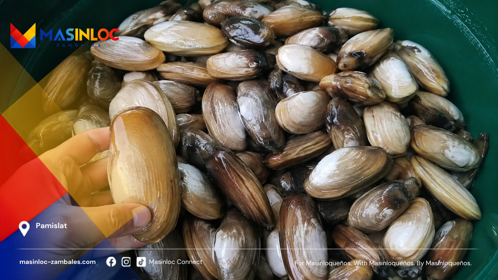
What Masinloc grows, gathers and eats, and why a shellfish most visitors have never heard of matters more here than any restaurant list.
History and culture
Including the parts that are not settled.
- The Sambal Words Masinloc Refuses to LoseSambal is a language, not a dialect of Tagalog. Masinloc's archive holds 5,222 dictionary entries—but preservation begins only when archival forms and living speakers can answer each other.
- Masinloc, Masingloc and the Trouble With a Good Origin StoryOld records preserve spellings such as Masingloc. Modern retellings offer a river phrase or a hinloc plant. Neither explanation yet has the documentary or linguistic chain needed to settle the name.
Festivals and traditions
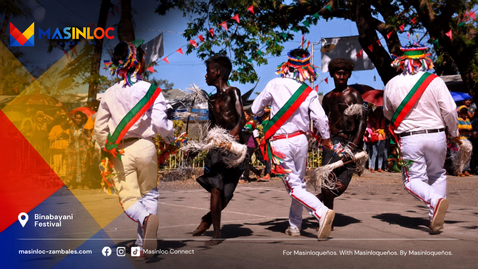
What the town performs, celebrates and keeps doing every year, and what those practices are actually for.
The sea
Protected water, and the argument about a shoal.
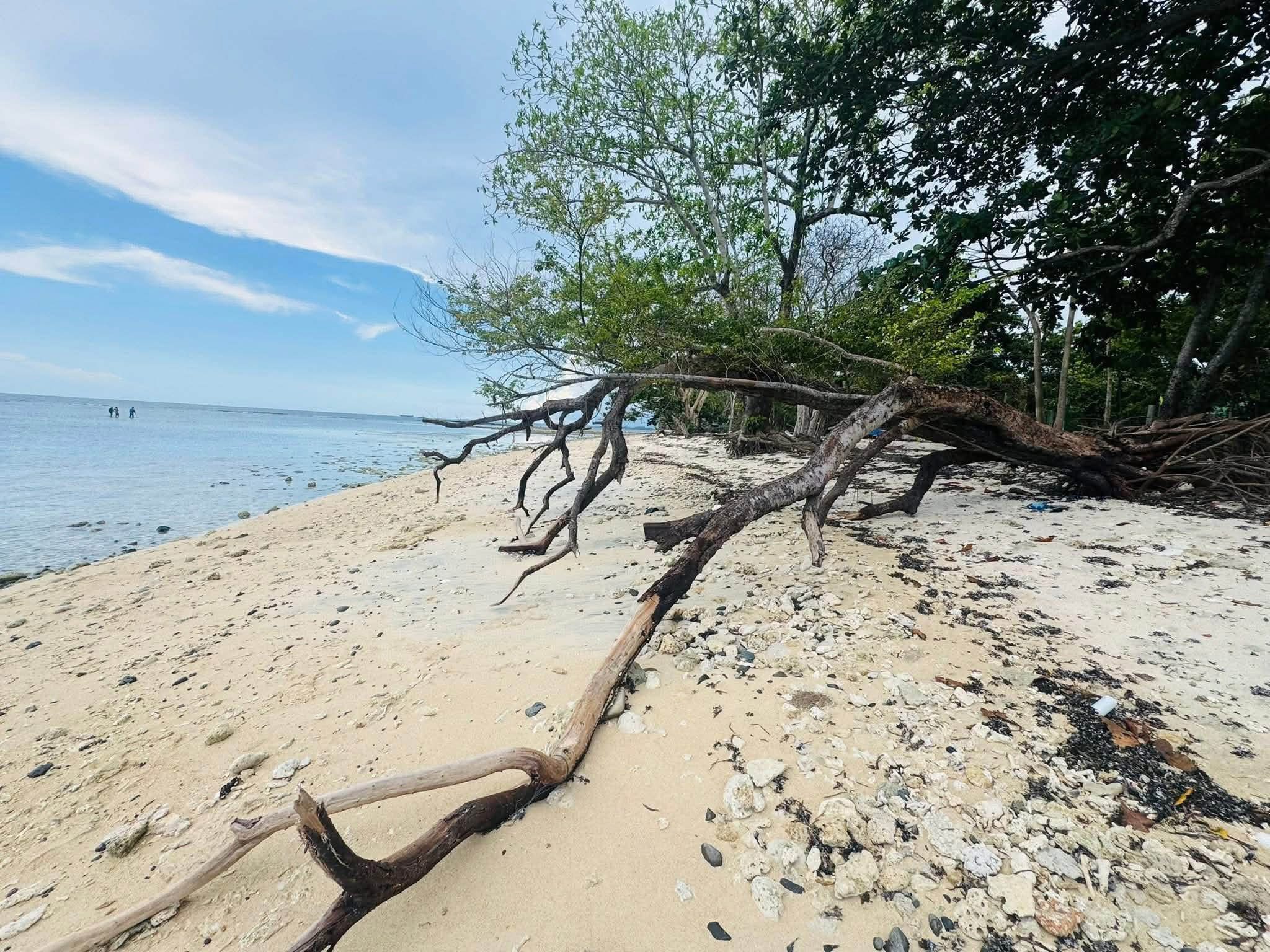
- Why Does a Distant Shoal Carry Masinloc's Name?Bajo de Masinloc lies about 124 nautical miles from the Zambales coast. Its old name links a remote reef to this town—but a name on a chart proves less, and more, than political slogans suggest.
Industry and local economy
A 1,023-megawatt power station, 2,649 recorded fishers and a documented mango industry. What the public numbers show—and what they do not.
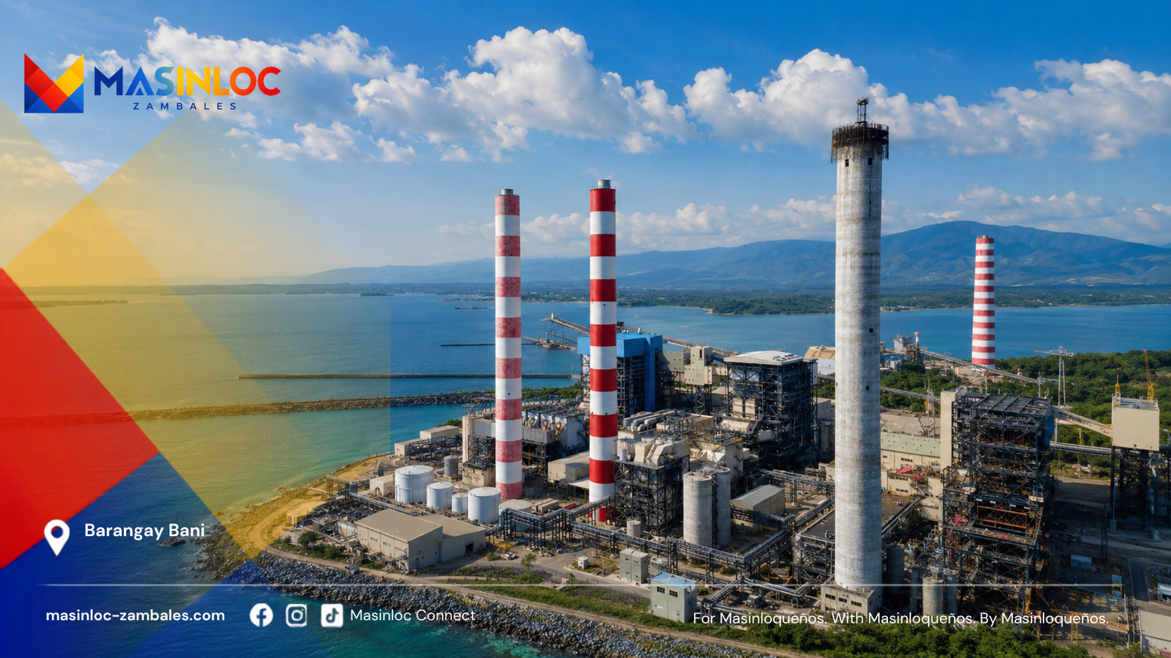
- Three Economies Meet at Masinloc BayDENR records 2,649 fishers. The power plant reports 1,023 megawatts. Mangoes grown in Masinloc have tested at 23 percent soluble sugar. These numbers describe sectors—not a household budget.
MABAYANI
They called them fierce.
We call them MABAYANI.
The story of the people who built, defended, endured and carried Masinloc forward.
The verified record
What the research settled, kept apart from the stories.
- Verified HistoryThe academic history of the Augustinian Recollect mission states that Fray Andrés del Espíritu Santo reached Masinloc by sea with Fray Jerónimo de Cristo in 1607, founded the mission town, and built its first church.
- Fray Andrés del Espíritu SantoFounder and first parish priest of the documented Masinloc mission town
Still open
The questions the evidence has not answered yet.
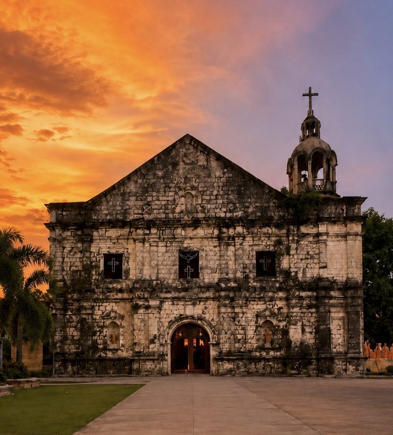
The 1616 phase, the late nineteenth-century roof and bell-tower changes, and the twentieth-century facade work still need confirmation against the original Recollect archive, parish records, National Museum files and dated photographs.
A National Cultural Treasure marker is a separate event from the declaration, and the two are easy to merge into one date. A marker unveiling in November 2012 has been mentioned to us but no National Museum, Philippine Information Agency, Philippine News Agency or Official Gazette record for it has been located. Until one is, this account carries the declaration date only. If you hold a photograph of the marker, a programme, or a parish or municipal record of the unveiling, that is the missing piece.
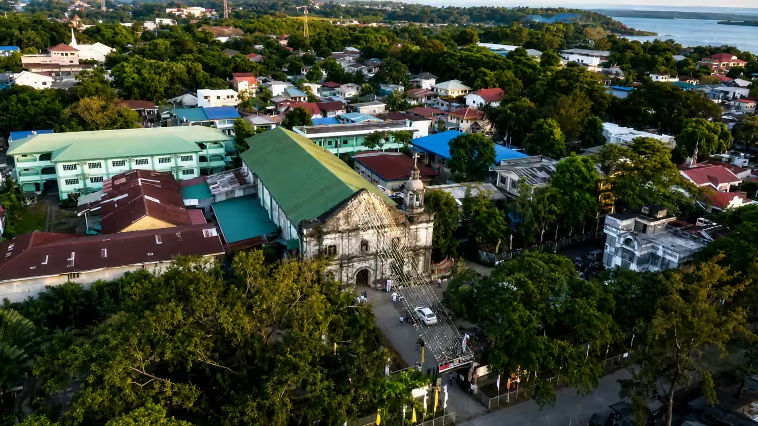
A church built, damaged, and rebuilt: San Andres across the centuries
Recollect chronicles, parish papers, Spanish military reports and family traditions may yet recover the names of the defenders.
The earliest surviving programme, newspaper report, parish reference, Elicano document, photograph and oral testimony have yet to be traced, along with how the costume and explanation changed across the twentieth century.
A final explanation requires review by fluent speakers across age groups and barangays, together with a historical linguist.
The names of the 1649 defenders, the earliest surviving reference to Binabayani, a community-approved account of the language name, dated photographs of the church facade before 1970, and a certified roster of municipal leadership all remain unrecovered.