
Places
Before You Drive to Masinloc
A map can get you to the town center. It cannot decide whether your Masinloc day belongs to the poblacion, the inland barangays or the protected coast—or verify today's access for you.
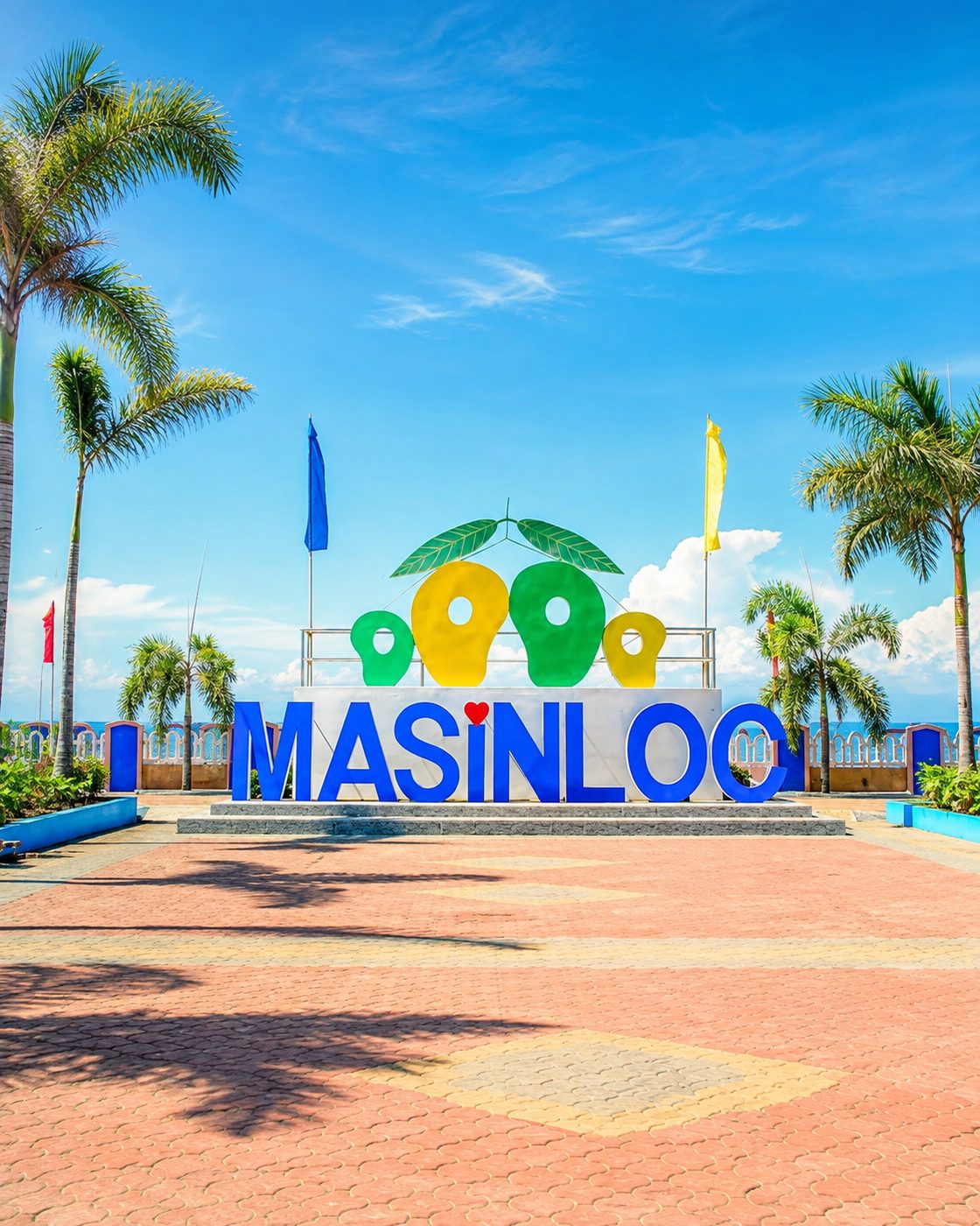
A navigation app can place a pin in Masinloc's poblacion. That solves only the first problem. San Andres Church and the Baywalk are in the town center; Hamat River, Bunga Cave, Coto Kidz Pool and Sitio Buri require inland detours; San Salvador Island and Bacala belong to the coast. One destination field does not describe three different kinds of visit.
Masinloc is a coastal municipality in northern Zambales, between Palauig and Candelaria. Road distance and travel time depend on the starting point, route, traffic and weather; this page will not turn one test journey into a permanent promise. The stable planning fact is that the national road passes through the center while most of the places people search for do not sit on it.
What this site will not tell you
No bus schedules, no fare tables, no opening hours, no entrance fees. Not because they are unknowable but because they change without announcement, and a schedule published once and never revisited is worse than no schedule: it looks authoritative and it is wrong. Anything on this site that would go stale within a year is either kept current deliberately, on a page that says when it was last checked, or it is not published.
A wrong timetable is more expensive than a missing one. Somebody plans around a wrong timetable.
For current public transport, boat availability, permits and access, check with the responsible operator or local office close to the date of travel. An old fare or phone number copied across blogs can remain searchable long after it stops being useful.
Two practical things that are stable
First: choose a direction before building an itinerary. The center is the heritage-and-Baywalk pair. The inland group is spread across Santa Rita, Taltal and Inhobol. The coast involves protected water and, for island or sandbar visits, arrangements that a road map cannot make.
Second: the water in front of the town is part of the Masinloc and Oyon Bay Protected Landscape and Seascape. Swimming, boating, fishing and coastal visits happen inside a managed environment. Current rules and safe conditions matter more than an evergreen claim that a place is always open.
Sources & further reading
- Municipality of Masinloc geographic and barangay recordPhilippine Statistics Authority
- Masinloc and Oyon Bay protected-area profileDENR Biodiversity Management Bureau