
The sea
The Sea in Front of Masinloc Is Not Empty Blue Space
The water off Masinloc is a 7,558.50-hectare protected landscape and seascape, a workplace for thousands of fishers, and an ecosystem under measurable pressure.
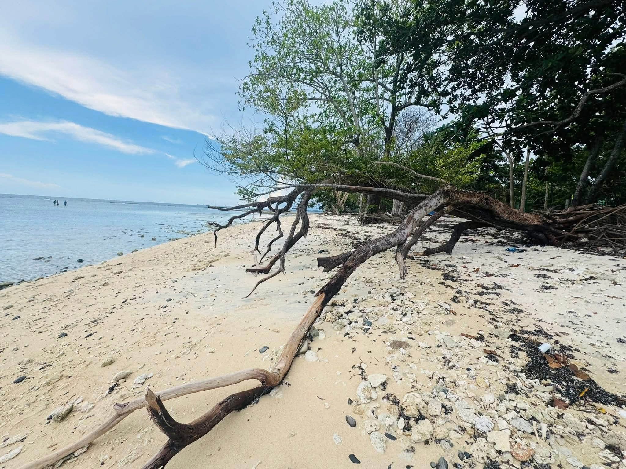
From the Baywalk, no line marks where ordinary coastal water ends and a protected area begins. The boundary exists on maps and in law: 7,558.50 hectares of shore, islands and sea shared by Masinloc and Palauig. The protection began with a 1993 proclamation and was carried into the expanded national protected-area system in 2018.
On 18 August 1993, Proclamation No. 231 set aside the coastal area and islands within Masinloc and Oyon Bay as a marine reserve, on the recommendation of the Secretary of Environment and Natural Resources, under the National Integrated Protected Areas System Act of 1992. The stated purpose was to protect the ecological, scenic, scientific and educational features of the area while allowing the social and economic needs of local communities to be met without damaging it. That second clause is the whole difficulty of a protected area with people living in it, written into the founding document.
What it covers now
The reserve is now the Masinloc and Oyon Bay Protected Landscape and Seascape, usually shortened to MOBPLS. DENR records coral reefs, seagrass beds, mangroves, mainland shoreline and six islands inside it. It is Central Luzon's only marine protected area under the expanded national system. Its status is therefore not a tourism label; it creates a management board, zones, rules and enforcement obligations.
The central question is not whether people or nature get the bay. It is whether the bay can keep supporting both.
San Salvador Island sits inside this area, and the community-based marine management work done there from the late 1980s onward is among the better documented examples of its kind in the Philippines. That work predates the proclamation. It is one of the cases where a national designation arrived to formalise something local people had already started rather than to impose something new.
What protection does not mean
A designation is not a fence. DENR's fish-catch monitoring records 2,649 fishers in Masinloc and 1,079 in Palauig. In the same monitoring work, half of the fishing-gear types measured yielded less than one kilogram per hour, while large shares of several recorded catches were immature fish. Those figures turn the word protection into a practical question about whether fishing can reproduce itself.
The pressure is ecological as well as economic. DENR's 2022 habitat mapping found eight seagrass species, but also estimated losses of more than 200 hectares of seagrass and roughly 713 hectares of coral-reef area between 2018 and 2022. The report names natural stress, anchoring and industrial effluent among the factors that require management. A blue surface can conceal a changing bottom.
The useful thing to understand, if you are reading this from somewhere else, is that the boundary of Masinloc does not stop at the beach. A meaningful part of the municipality's territory, economy and legal identity is underwater.
Sources & further reading
- Proclamation No. 231, s. 1993Official Gazette of the Republic of the Philippines
- Marine protected area in Zambales earns national recognitionPhilippine Information Agency
- DENR strengthens enforcement capacity for marine protected area in ZambalesPhilippine Information Agency
- Masinloc and Oyon Bay protected-area profileDENR Biodiversity Management Bureau
- Fish catch monitoring and gear inventory in MOBPLSDENR FASPS E-Library
- Benthic habitat mapping and beach profiling in MOBPLSDENR FASPS E-Library